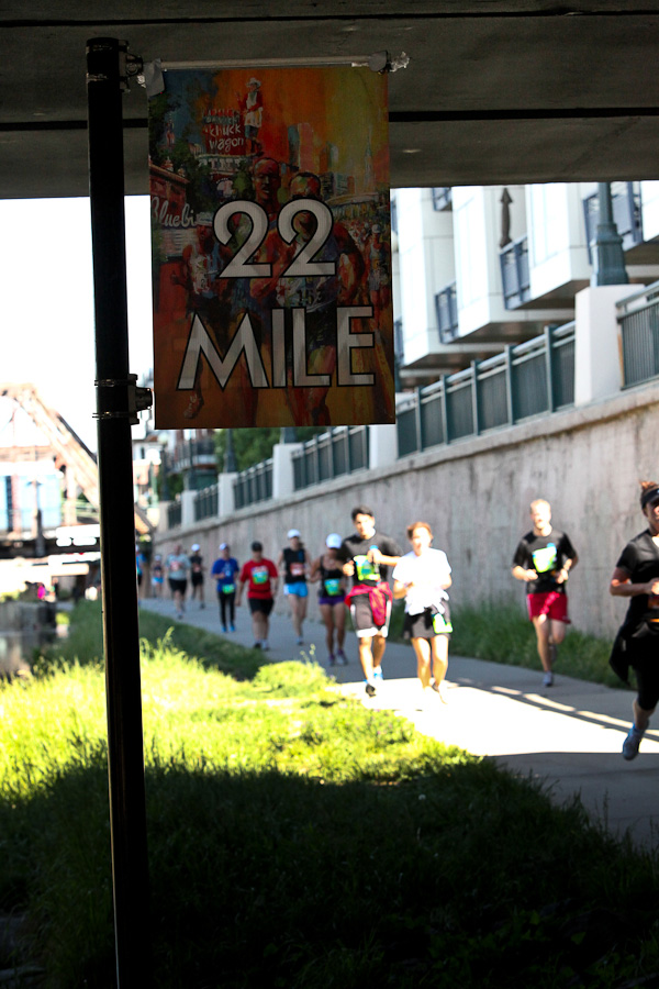
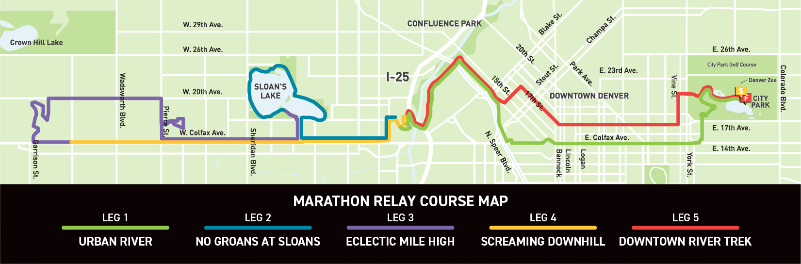
New for 2024! Our 2024 Course Map. For 2024 we have streamlined the marathon/urban 10/relay course, providing dedicated lanes for the last 4 miles that are separated from the half marathoners which eliminates merging. The half marathon will no longer be on the path. More course distance has been added to the scenic Glens, and there is a straight shot around Mile 25 into the park!
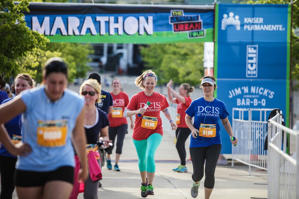
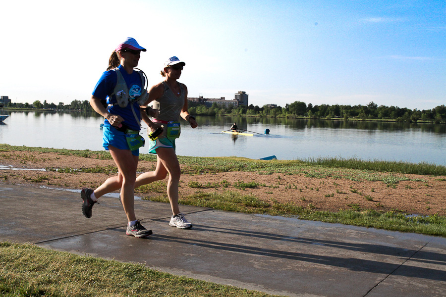
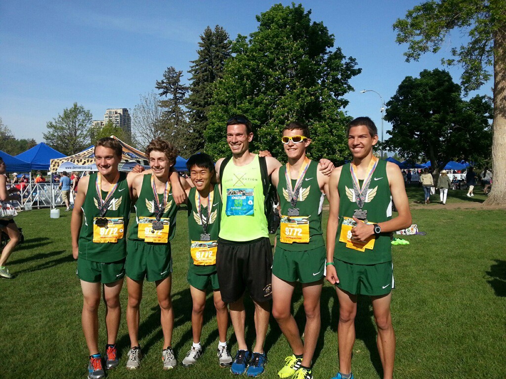
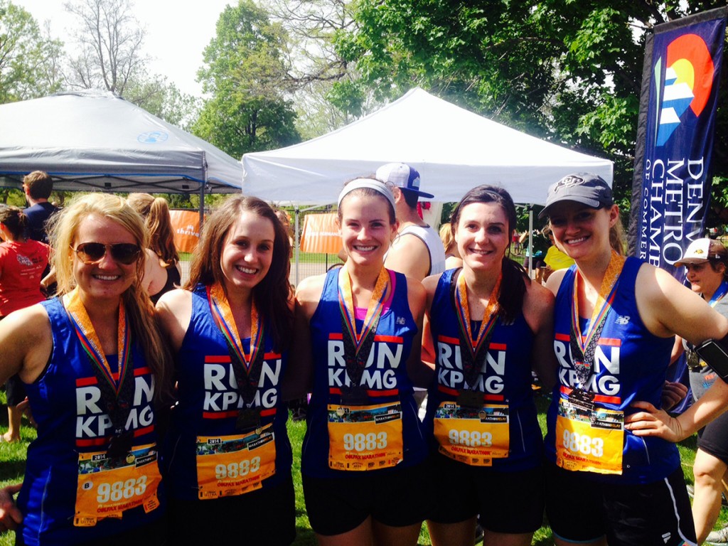
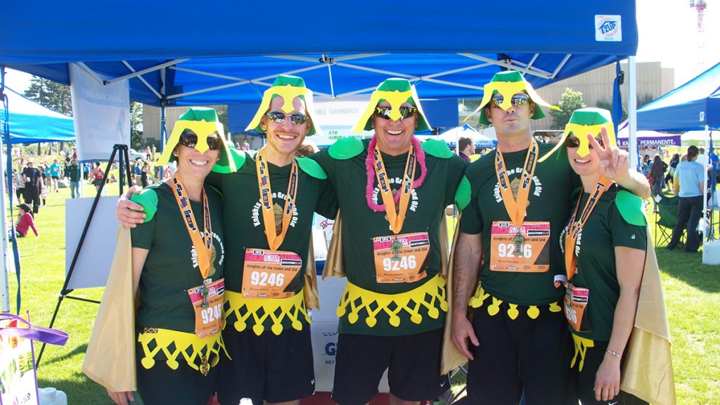
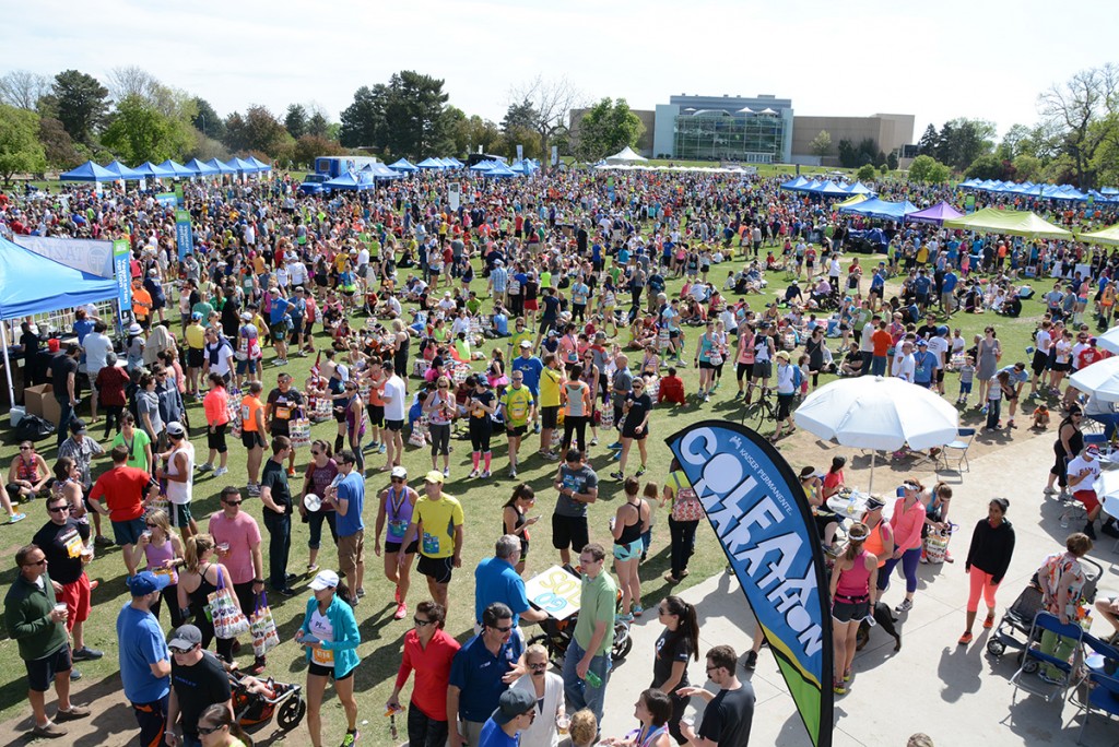
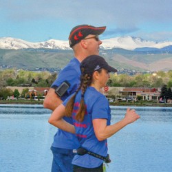
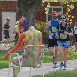
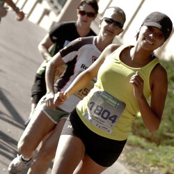
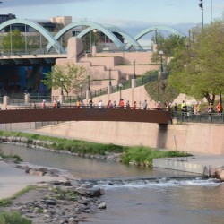
Map, Course Overview and Photo Tour!
Elevation Map
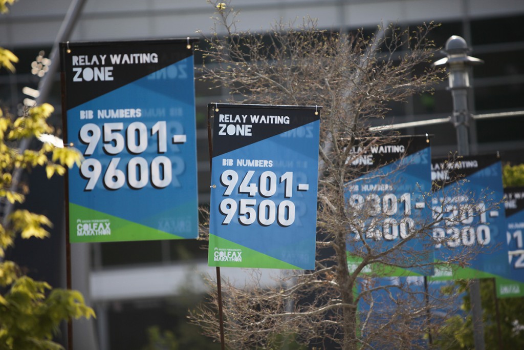
Click here to see the Elevation Map. See below for Relay Leg descriptions and Photo Tour.
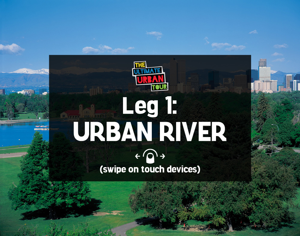
Leg 1: Urban River - 6.5 miles
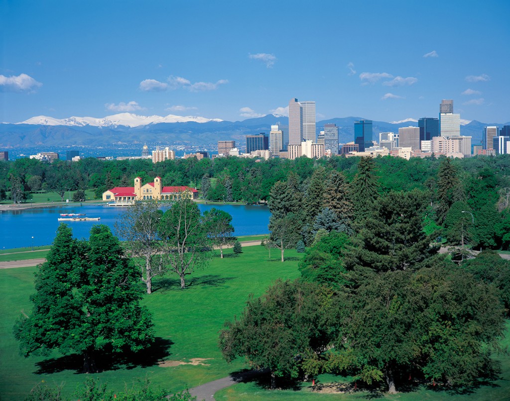
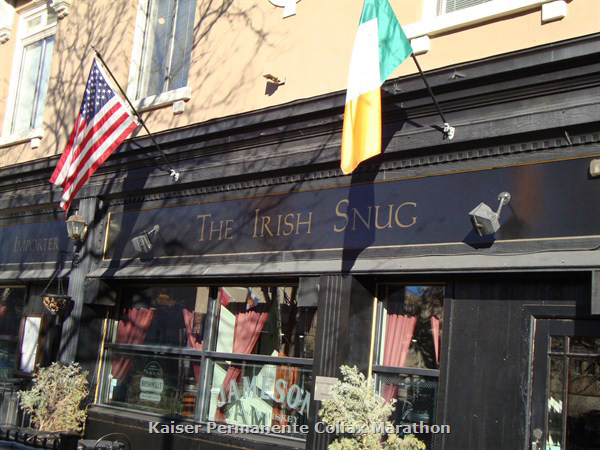
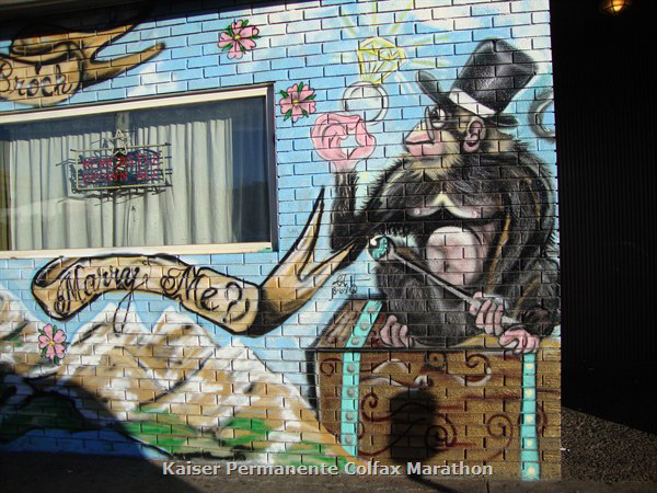
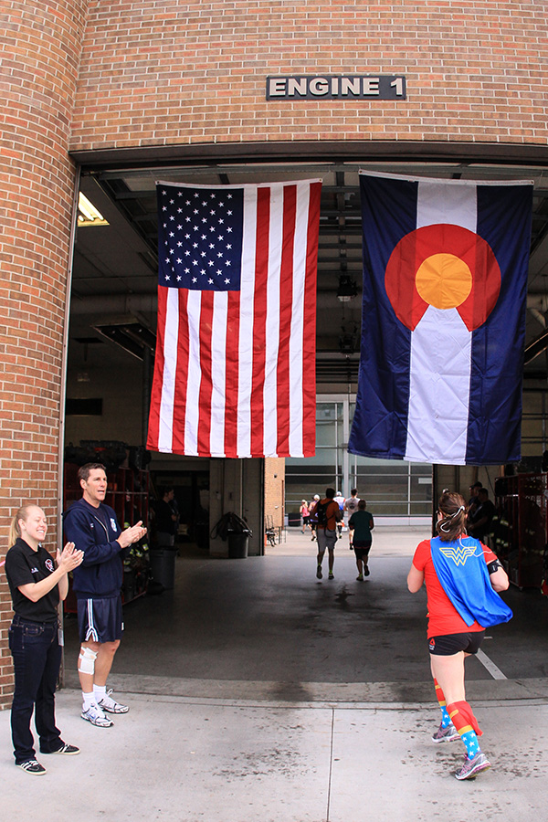
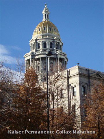
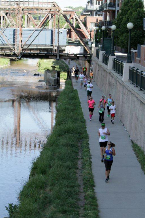
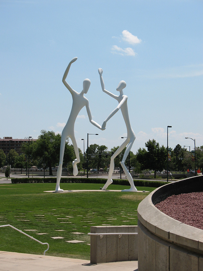
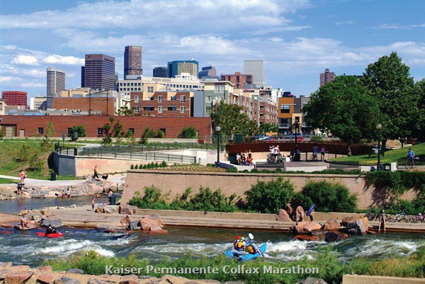
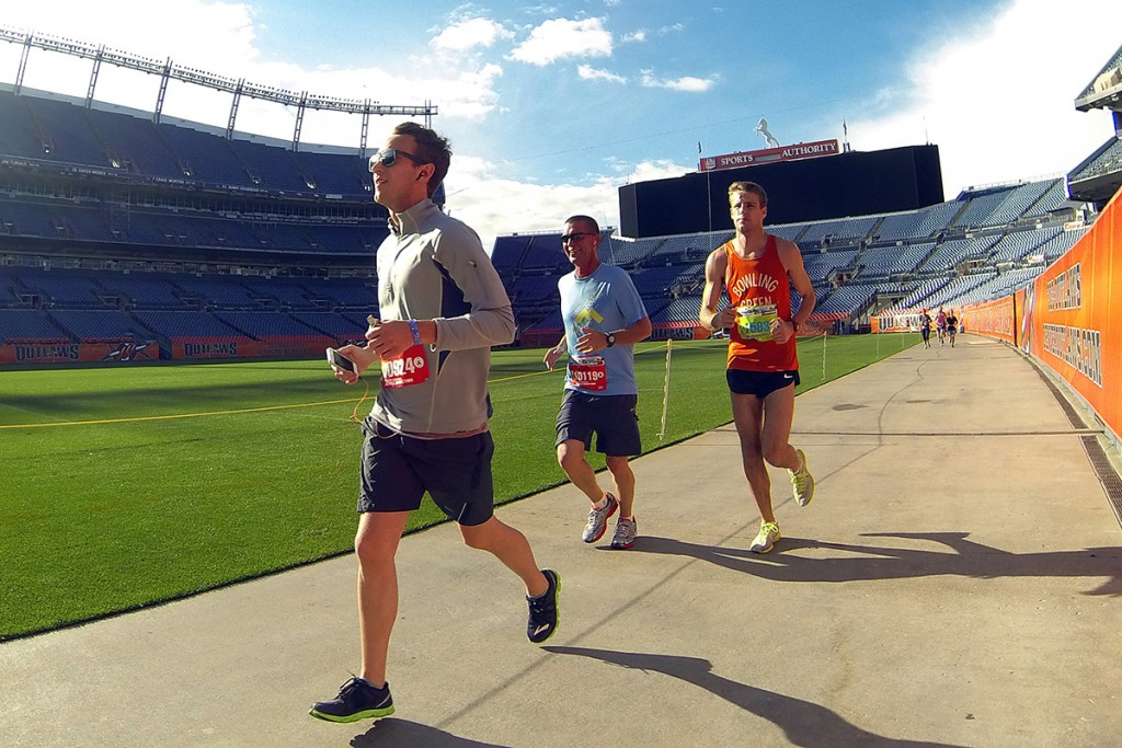
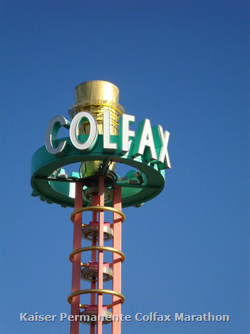
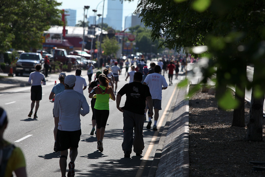
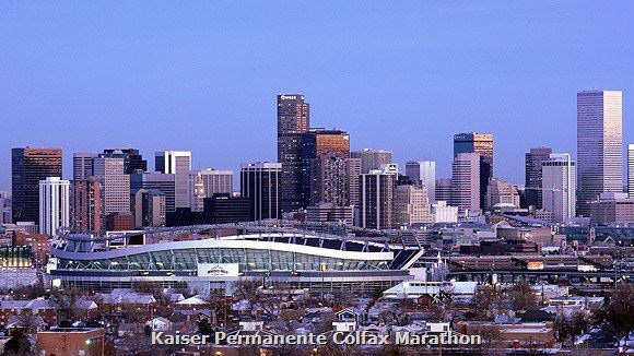
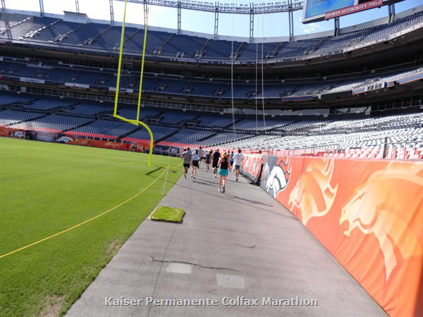
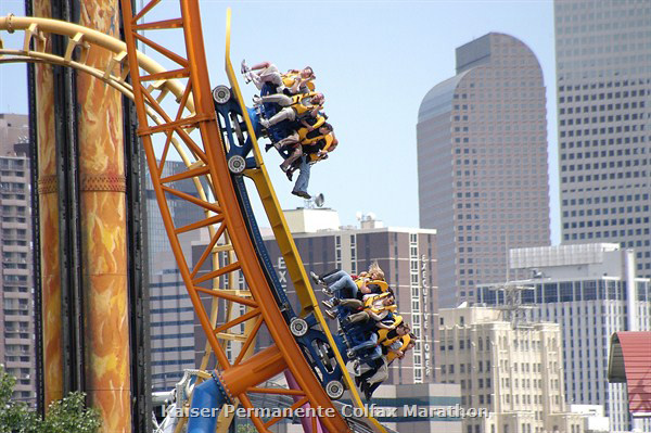
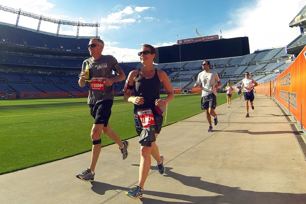
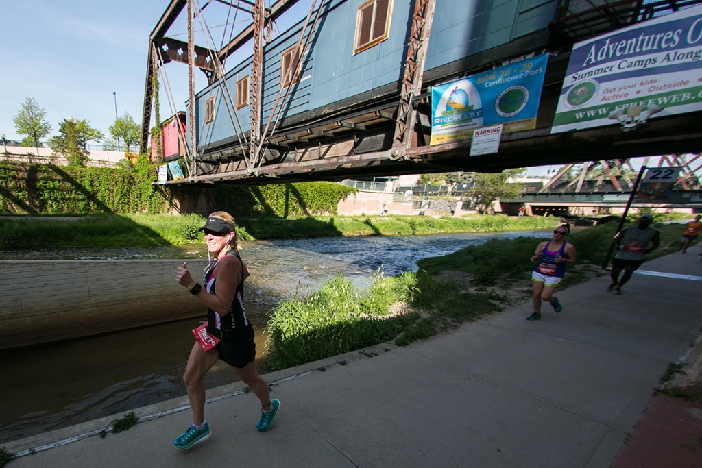
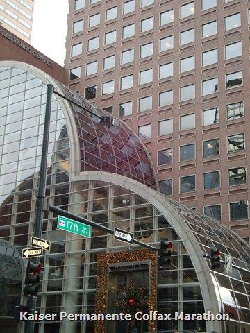
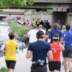
Picturesque Colfax, downtown and the epic stadium run-through. Starting on the East side of Ferril Lake in City Park, runners leave the park at the Esplanade. Then it’s west on Colfax past shops, pubs, and restaurants before heading downtown, passing the Capitol and Civic Center Park. Run through Denver’s Firestation #1, cheered on by the firefighters, and then head down to the Cherry Creek Trail and the Confluence. Pass Elitch Gardens enroute to Empower Field at Mile High – run through the stadium!
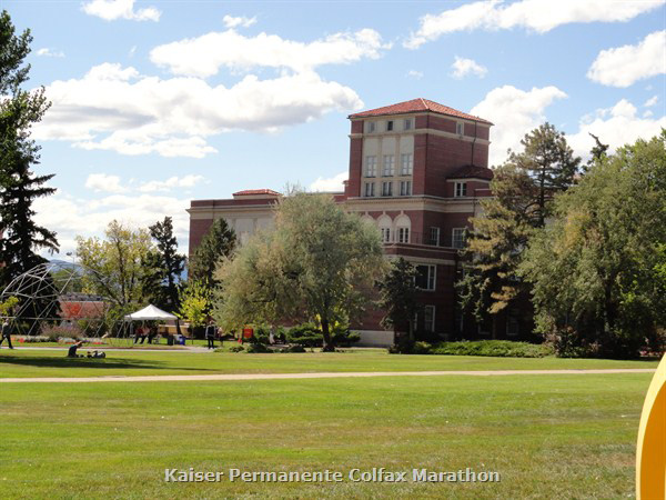
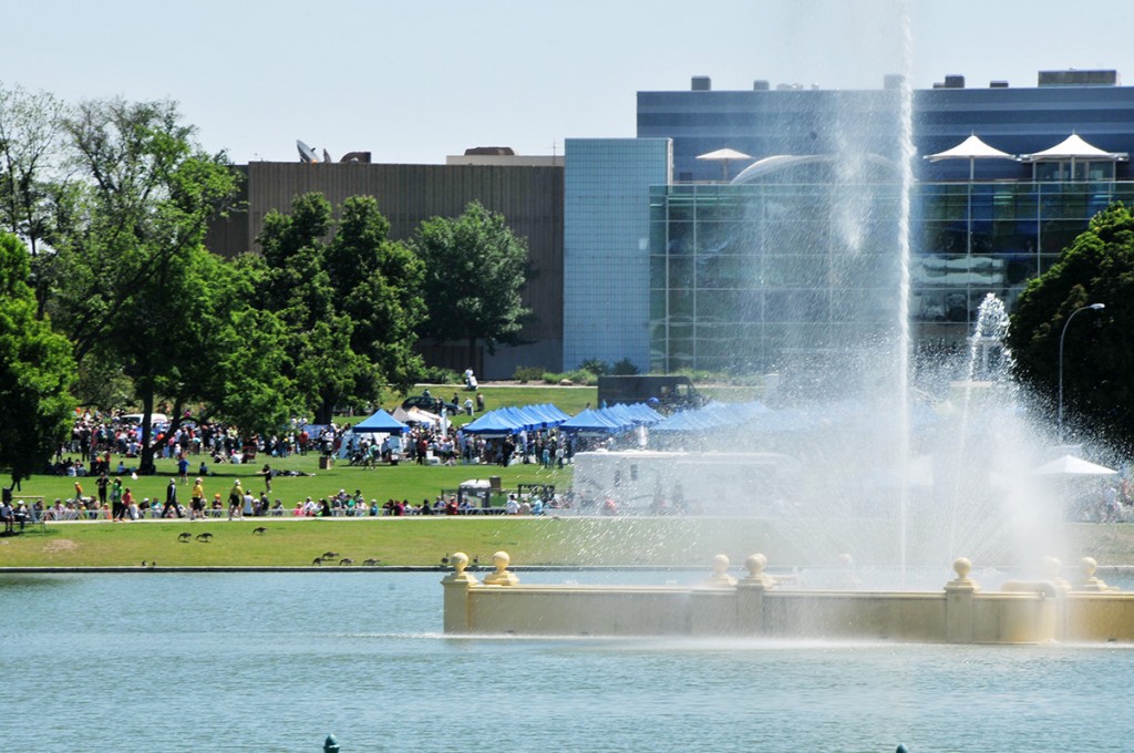
Start: City Park, west of Denver Museum of Nature & Science, east of Ferril Lake (bag check available)
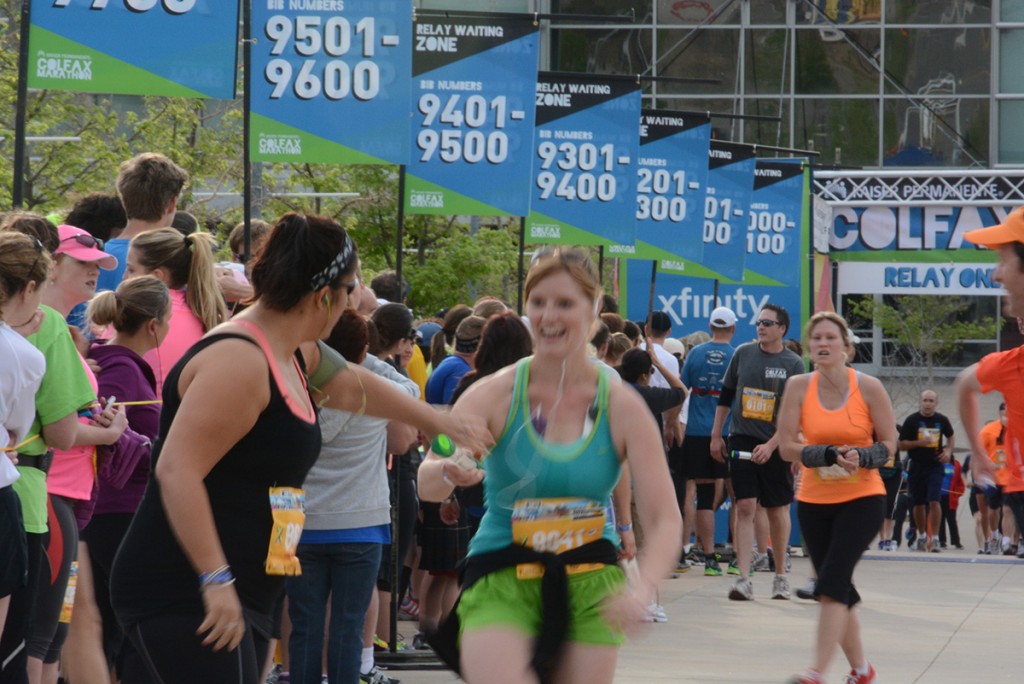
Parking: Near City Park, arrive super early – before 5am – for the best parking! Or get a ride – even better. We do NOT recommend you take RTD to the start of relay legs.
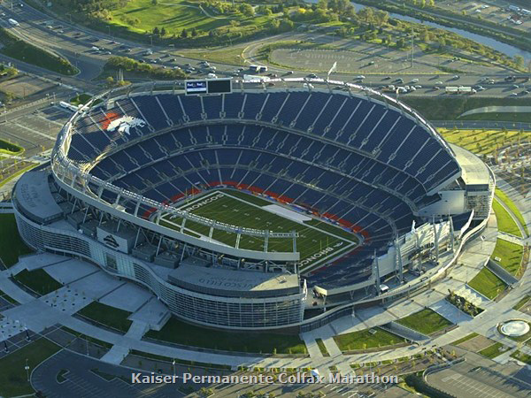
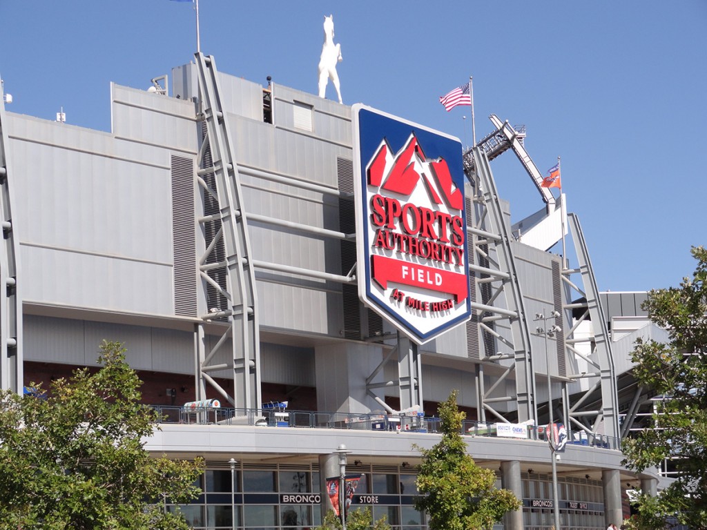
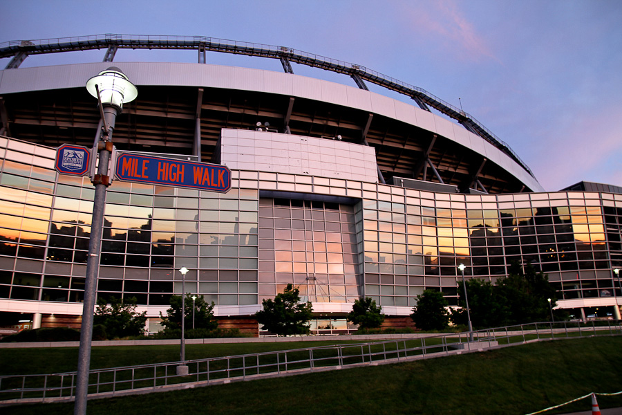
End: Empower Field at Mile High, Gate 4
Return to your car: Options and details will be provided in the Relay Logistics Packet available late April. RTD is an option and your bib includes a ticket.
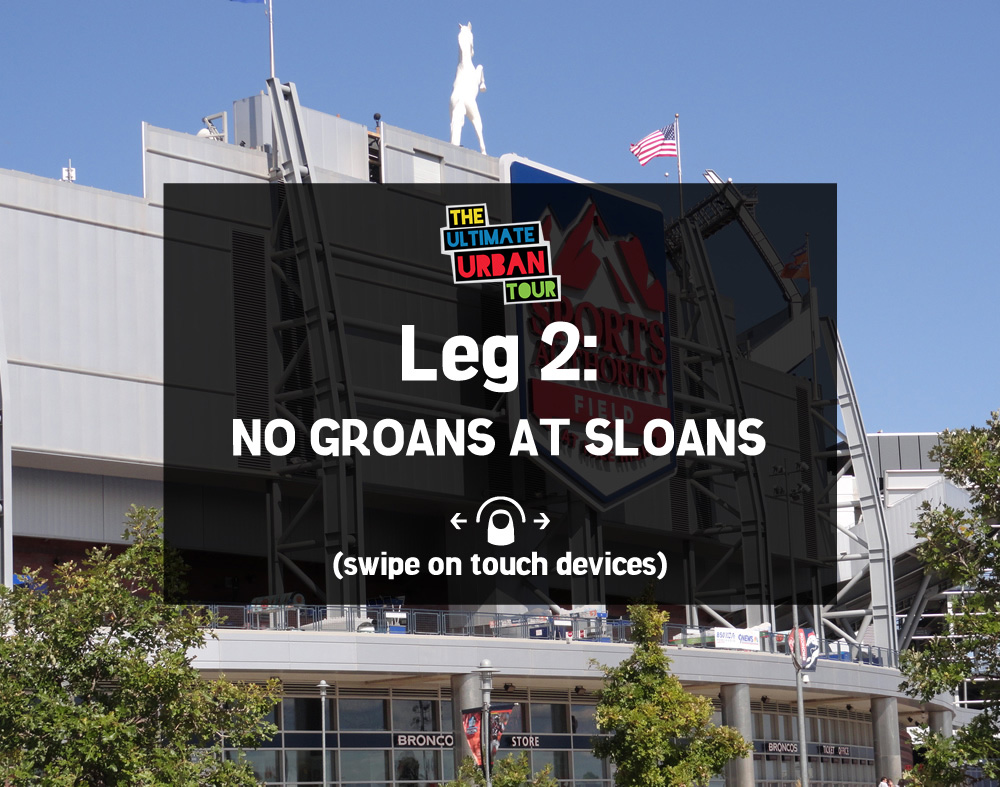
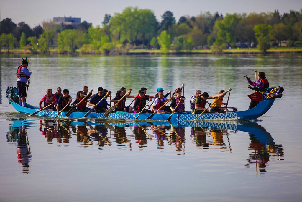
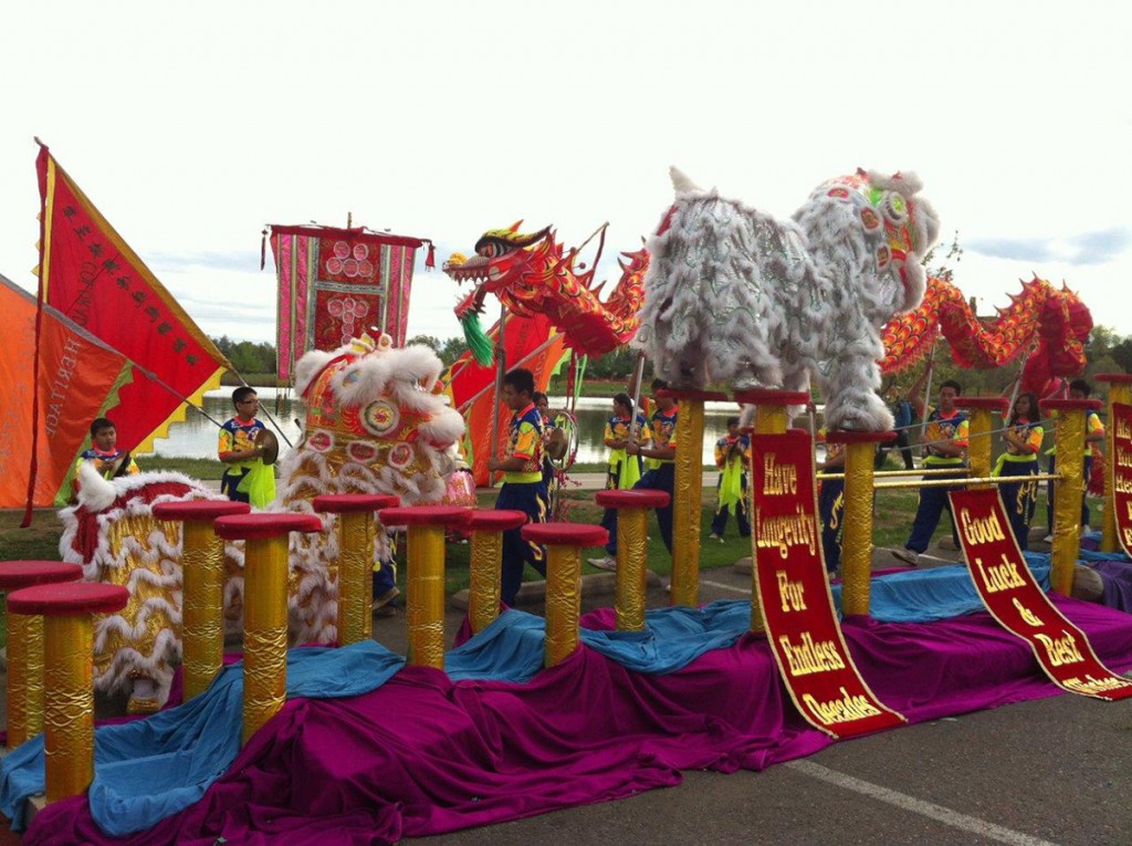
Leg 2: No Groans at Sloan’s - 3.8 miles
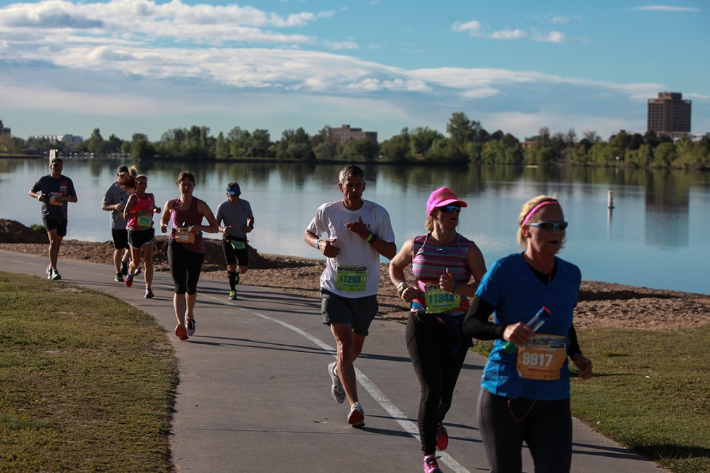
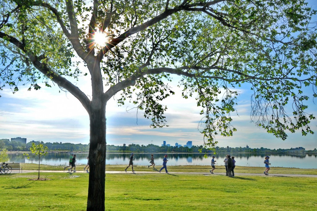
It’s a short climb out of the stadium, then onto Colfax for a great mix of retro and storefronts. At Sloan’s Lake, roll past the Dragon Boats, colorful drummers and dancers. Enjoy the stunning mountain and downtown views. It’s flat, fast and phenomenal.
Start: Empower Field at Mile High, Gate 4 (no bag check)
Parking: Empower Field at Mile High – LOT J. We do NOT recommend you take RTD to the start of relay legs.
End: South of Sloan’s Lake in the park, near 17th and Tennyson
Return to your car: Details will be provided in your Relay logistics packet late April – a one mile walk will be your fastest bet!
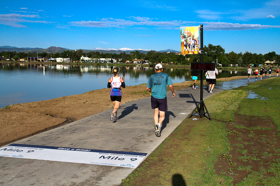
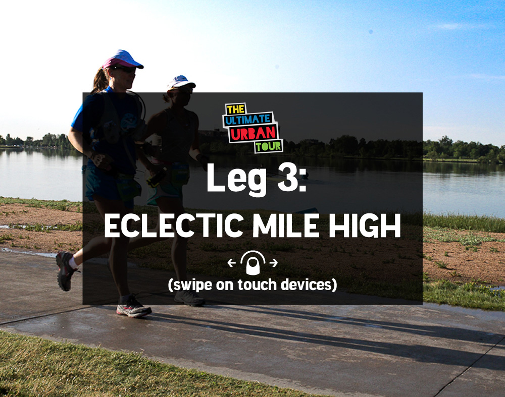
Leg 3: Eclectic Mile High - 5.9 miles
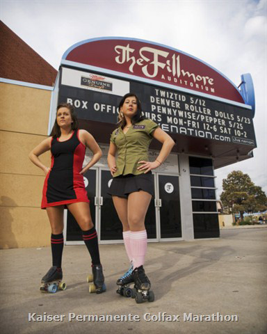
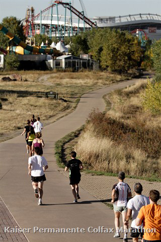
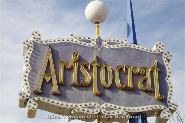
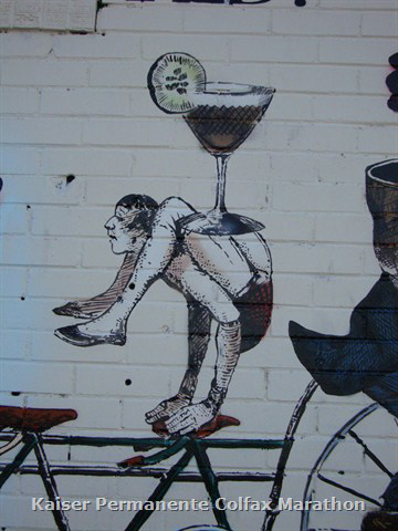
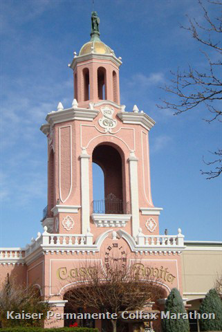
Leaving Sloan’s Lake, runners head west on Colfax. Enjoy mountain views, retro architecture and Casa Bonita, where the course departs Colfax. Then it’s on to the Rocky Mountain College of Art and Design campus, where outdoor art mixes with great architecture. Pass pretty Morse Park before entering a hidden gem of Lakewood – The Glens neighborhood, with graceful shade trees and white picket fences. Meet your next runner near Whitlock Rec Center on Colfax.
Start: South of Sloan’s Lake in the park, near 17th and Tennyson (no bag check)
Parking: Recommended parking info will be in the Relay Logistics packet available late April (due to ongoing construction changes in the area). We do NOT recommend you take RTD to the start of relay legs.
End: Dudley and Colfax (south of Whitlock Rec Center and west of Rockley Music)
Return to your car: Options and details will be provided in the Relay Logistics Packet available late April. RTD is an option and your bib includes a ticket.
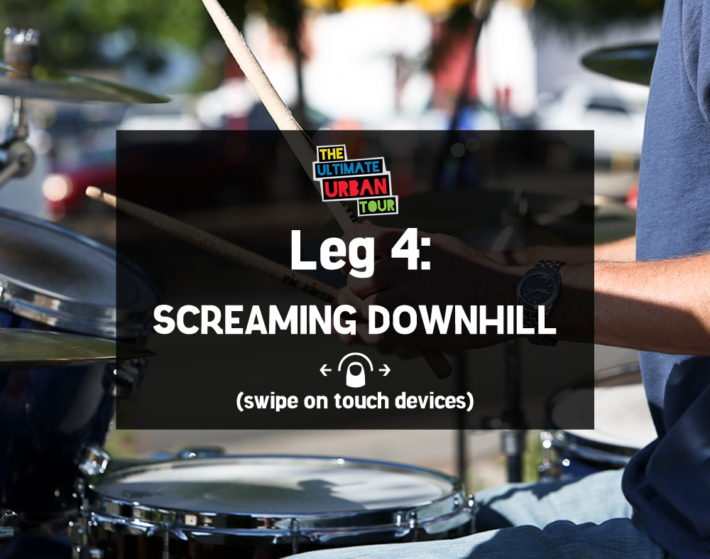
Leg 4: Screaming Downhill - 4.0 miles
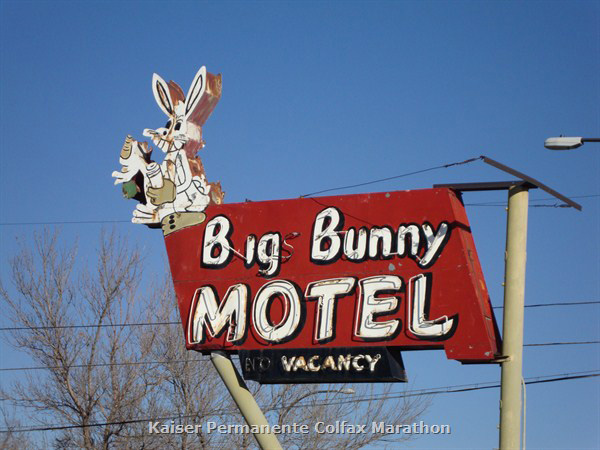
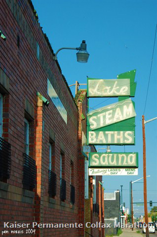
Ready – set – go! It’s a fast downhill cruise from Lakewood back to Denver. Starting near the Whitlock Rec Center (near Dudley and Colfax) the course heads straight down Colfax. Runners pass fun architecture and venues such as the Big Bunny Motel, Casa Bonita, the Lake Steam Baths, and wonderful street art. Most of this run offers terrific panoramic views of Denver’s skyline. The leg wraps up on the west Esplanade at Broncos Stadium at Mile High.
Start: Dudley and Colfax (south of Whitlock Rec Center and west of Rockley Music) – no bag check
Parking: South of Colfax: Near 14th and Dover in business lots. We do NOT recommend you take RTD to the start of relay legs.
End: Broncos Stadium at Mile High, Gate 4
Return to your car: Options and details will be provided in the Relay Logistics Packet available late April. RTD is an option and your bib includes a ticket.
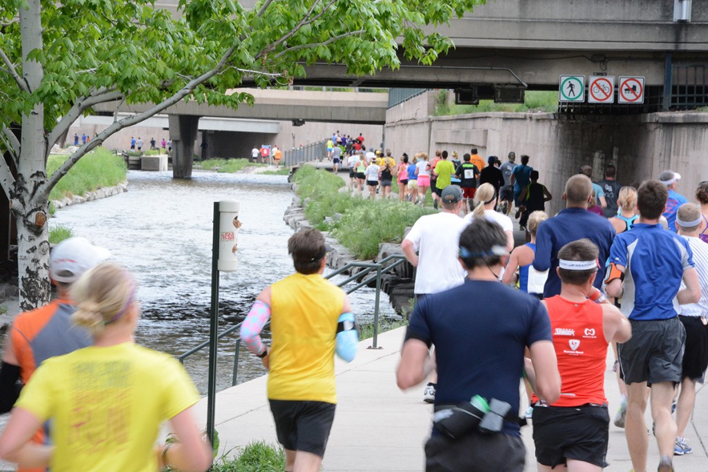
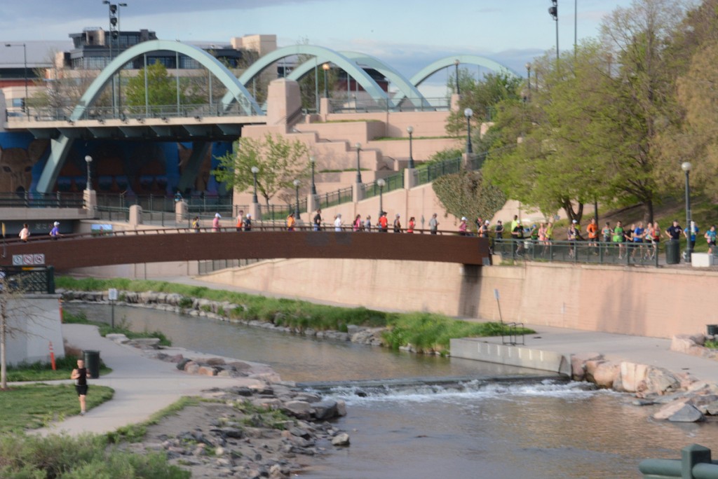
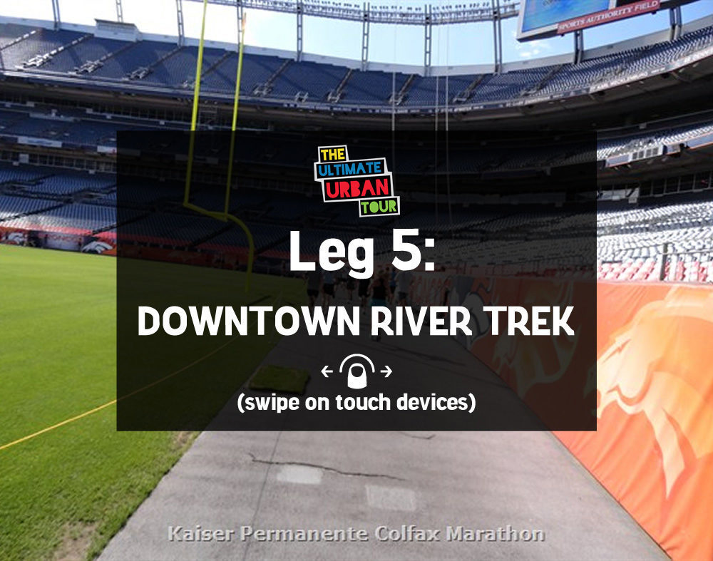
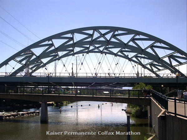
Leg 5: Downtown River Trek - 6.0 miles
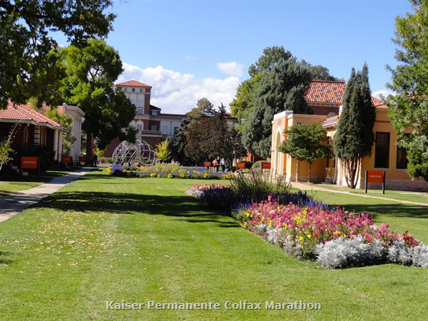
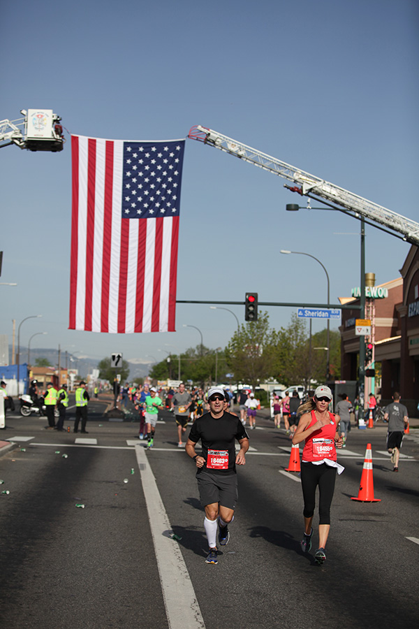
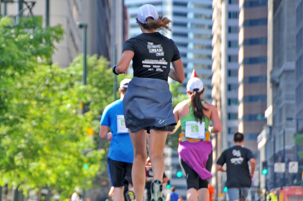
It’s the grand finale! Runners head straight into Broncos Stadium at Mile High for the second stadium run through, then cross over to the Platte River by Elitches and Confluence Park. The course rejoins the Cherry Creek Trail. Exiting at Lawrence takes runners on a fun tour across the 16th Street Mall, under the Tabor Center, and then uphill out 17th Avenue passing great restaurants and Victorians. Enter City Park at 21st, with the grand finale between beautiful Ferril Lake and the meadows next to the Museum of Nature and Science.
Start: Empower Field at Mile High, Gate 4 (no bag check)
Parking: Empower Field at Mile High Lot J. We do NOT recommend you take RTD to the start of relay legs.
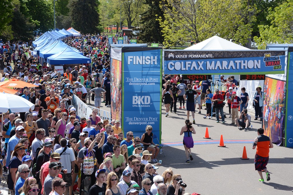
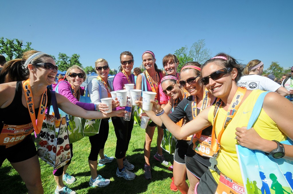
End: City Park Finish Line! Enjoy water, snacks. And lunch and a beer
Return to your car: Options and details will be provided in the Relay Logistics Packet available late April. RTD is an option and your bib includes a ticket.